Live context
Quick answers
- What is the elevation of Lake Atitlán?
- About 1,560 meters (5,118 feet) above sea level, among the highest large navigable lakes in the world.
- Where is Lake Atitlán?
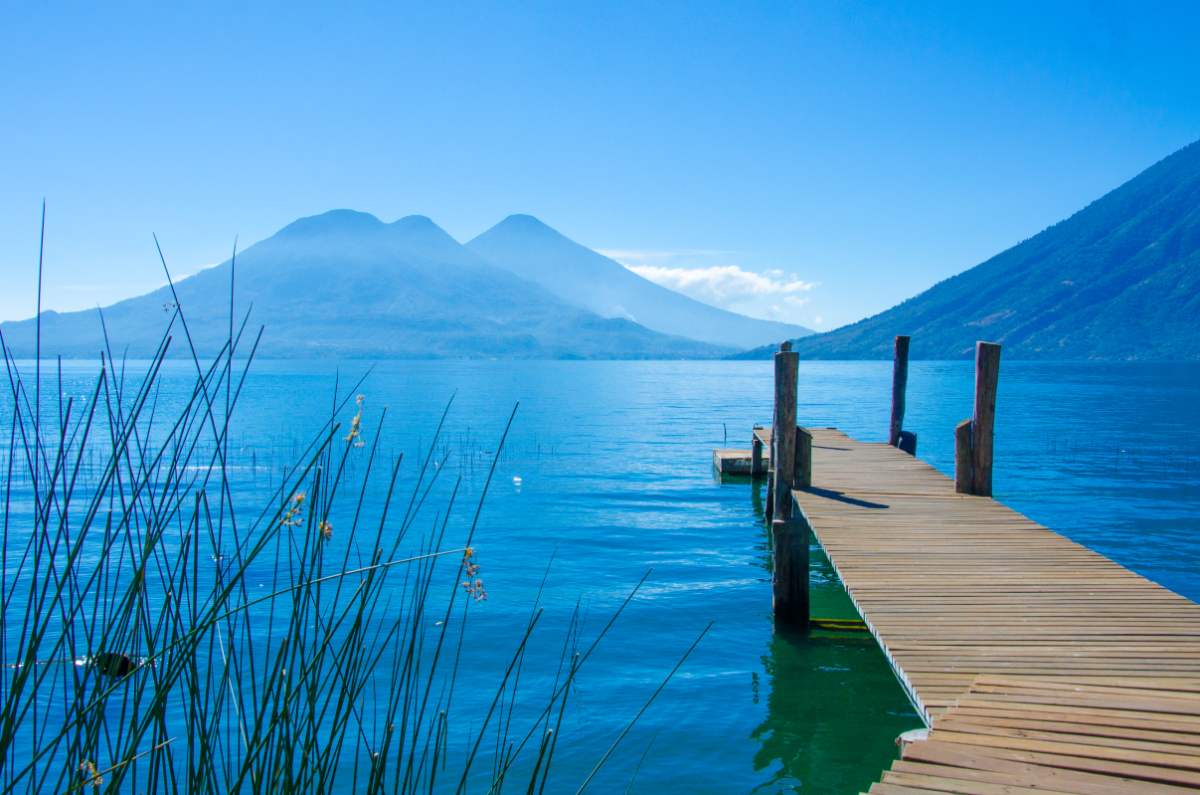
- In southwestern Guatemala, inside a volcanic caldera framed by San Pedro, Atitlán, and Tolimán volcanoes, with Maya villages along the shore.
Quick facts
- Lake Atitlán is situated at an elevation of approximately 1,560 meters (5,118 feet) above sea level, making it one of the highest navigable lakes in the world.
- The lake is surrounded by three prominent volcanoes: San Pedro, Atitlán, and Tolimán, with the Atitlán volcano reaching a height of 3,537 meters (11,573 feet).
- Home to a variety of indigenous cultures, the lake is known for its traditional villages, such as San Juan La Laguna and Santiago Atitlán, where you can find vibrant local markets and artisan crafts.
- Lake Atitlán was formed about 84,000 years ago following a massive volcanic eruption, which created a caldera that later filled with water.
- The lake is famous for its stunning sunrises and sunsets, with many visitors hiking to viewpoints like Indian Nose, which stands at 2,600 meters (8,530 feet) for panoramic views.
Travel details
- Country
- Guatemala
- Wind (now)
- 1 km/h
- Humidity (now)
- 92%
- Coordinates
- 14.6914, -91.2025
Share this destination
Share Lake Atitlán, Guatemala with friends or save it for later.
Want to embed this destination on your site?
Get embed code →